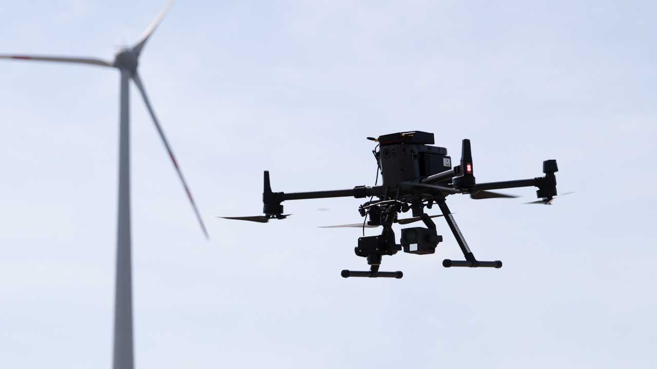
From the initial planning to the autonomous, real-time data acquisition flight campaigns, advanced AI-powered analysis and detailed digital reports, Aero Enterprise is a reliable partner for your inspections.
We continuously aim to acquire best-in-class image data, so you know when there is a problem and when maintenance is required. The inspection data we collect is trackable through an asset’s entire lifecycle from the moment we start, which allows you to monitor any damage progress, helping you to predict future maintenance probabilities. This enables our clients to avoid unnecessary downtime and maintenance, keeping loss of revenue at a minimum and helping maximize the lifespan capacity of their wind turbine assets.